Storm Boelo Threatens Northern Britain With 80mph Gusts
The second named storm of the season is set to disrupt travel and power grids in Scotland and northern England this weekend.
By Tunde Adeyemi ·
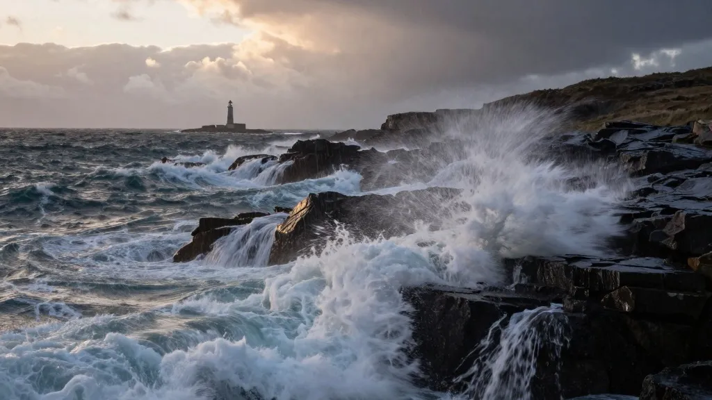
Storm Boelo is forecast to deliver gusts exceeding 80mph to northern regions of the United Kingdom, marking the second named storm of the current meteorological season. The system brings a combination of intense winds and heavy precipitation that officials expect will significantly impact daily life and infrastructure across the area.
The meteorological agency has issued an amber alert, which is the second most severe level on their scale, for Scotland and the northern counties of England down to Carlisle. This warning is in effect from 9 p.m. on Saturday until the same hour on Sunday. A separate amber notice covers the north-east of Northern Ireland, active from 9 p.m. Saturday until 10 a.m. Sunday. Forecasters have advised the public to remain indoors whenever possible due to the risks posed by flying debris and powerful waves.
Broader yellow warnings for wet and windy conditions cover the entire northern part of the UK from midday Saturday through 9 p.m. Sunday. Additionally, a specific heavy rain warning applies to Wales and portions of western and southern England between 11 a.m. and 11 p.m. on Saturday. These conditions are expected to create widespread disruption for both rail and ferry services during the weekend.
Rail operators have taken preemptive measures to manage the risk. TransPennine Express has advised travelers to limit non-essential trips on Saturday and Sunday. Avanti West Coast has strongly urged passengers to avoid traveling north of Preston on Sunday. These warnings come in the wake of Storm Austen, which hit the south-west of England on Friday and is currently moving eastward.
Power outages remain a major concern for northern residents. The meteorological agency has cautioned that the grid failures seen in the south-west may be replicated in the northern amber warning zones. During Friday’s storm activity, 31,000 homes in the south-west lost electricity. As of Saturday morning, more than 3,700 properties in that region were still without power, according to National Grid data.
Alex Burkill, a meteorologist with the Met Office, identified the winds as the primary hazard. He noted that strong gusty conditions would whip across Northern Ireland, northern England, and Scotland, intensifying as the evening progresses. While temperatures are expected to be slightly above the seasonal average, the combination of wind and rain will make the weather feel unpleasant, offering a stark contrast to the drier conditions experienced earlier in the autumn.
The peak wind speeds are anticipated to occur from Saturday evening onward. While the wet weather should dissipate overnight in many areas, Scotland and Northern Ireland are expected to continue facing rain. This event adds to a year characterized by extreme weather patterns linked to human-driven climate change, following a record-breaking hot summer that included five heatwaves and 40 days above 30C.
Prime Minister Andy Burnham addressed the ongoing challenges at a summit on the summer's wildfires on Friday. He warned that the UK could face a winter of increased flooding while acknowledging that unexpected events are becoming more common. The government has maintained that it is not playing catch-up on civil preparedness despite these recurring extremes.
Source: The Guardian