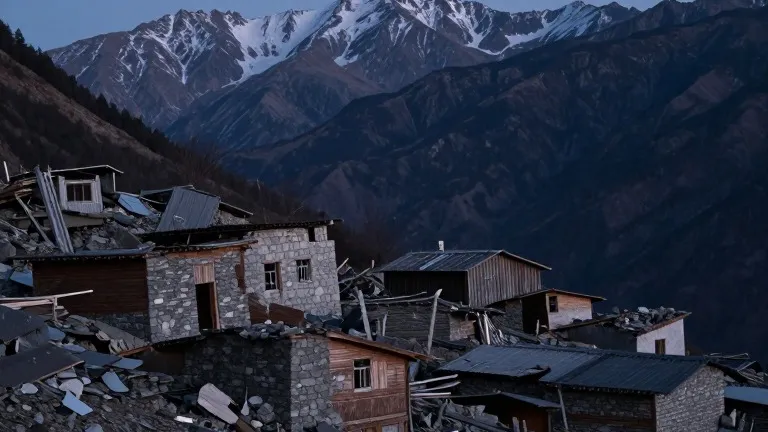
Colorado Weekend Forecast: Cold Front and Heavy Rain
Southern Colorado residents should expect a 15 degree temperature drop and up to 0.75 inches of rain as a new weather system arrives Saturday.
By Pedro Tanaka ·
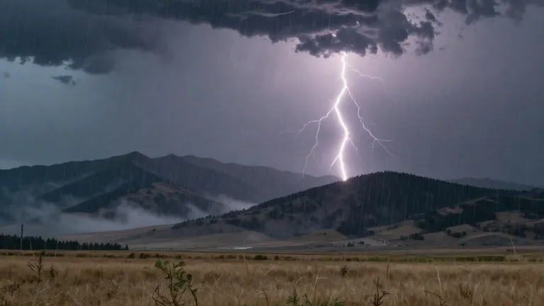
A cold front is expected to cross Colorado early Saturday, bringing a sharp drop in temperatures and increased moisture to the state. Forecasters predict highs will fall by 10 to 15 degrees, dropping below seasonal averages. Winds will strengthen Friday and continue through the weekend, with gusts reaching 40 to 45 mph.
The weather shift follows a period of warmer than average conditions in the eastern plains and Pikes Peak region. On Friday, Colorado Springs is forecast to see a high of 73 degrees, while Pueblo should reach 81 degrees. The plains will hold a high of 83 degrees, and Woodland Park will warm to 56 degrees. Scattered showers are possible on Friday, but the heaviest activity is expected to begin Friday night.
The San Juan Mountains and southwestern Colorado face more immediate risks. Heavy rainfall continued in these areas as of Thursday, maintaining active flood watches and severe thunderstorm watches. Several flood warnings remain in effect for the region. The combination of saturated ground and continued precipitation keeps the risk of mudslides and flooding elevated through the weekend.
The new system will deliver a fresh push of tropical moisture from the east. Total rain accumulations for the coming days are estimated between 0.10 inches and 0.75 inches across the region. In the mountains, snow levels are expected to lower once the front passes. The plains may receive a significant amount of rainfall as strong winds move in.
Residents in the Pikes Peak region and Pueblo County saw scattered showers on Thursday evening. Overnight lows settled in the 40s and 50s. Friday will bring intermittent showers to most areas, with a brief dry period in Canon City around 75 degrees before the next wave of moisture arrives Friday night.
The extended outlook indicates the weather will improve after the weekend. Temperatures are expected to return to seasonal levels, and conditions should dry out next week. The period of heavy rain and strong winds is projected to be short-lived.
The National Weather Service issued the warnings for the mountainous areas on Thursday. The cold front is the primary driver for the coming temperature change. The system will affect the entire state, with the most severe impacts concentrated in the west.
Source: KOAA News5
More News · Colorado Springs news · Report a business · Got a Story?